the idea of infilling, central to today's (wet + rainy) class, informed our discussion in hss105. as we de-constructed the landscape along mendenhall street, students had the opportunity to use sanborn fire insurance maps to see changes along the thoroughfare in the early twentieth century. here are a couple of images from the handout.

 as suggested within the handout, students thought about architectural style, their previous travels along tate street, and some additional ideas about the changing face of the neighborhood over the decades as buildings were built, some demolished, and new ones infilled.


 i was struck, particularly today, that the notion of shaping space, whether one looks at the historical record and the ideas pierre l'enfant penned for washington, or the seemingly haphazard plan for the campus of the university, that several universal principles hold. it seems that the strong idea of a grid can be seen in both physical environments....but in shaping the quad, clearly its designers harkened back to jefferson's sense of space and place as he developed the
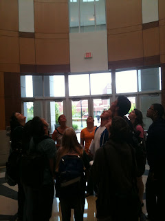
  as we finished visiting the campus today in hss105, we headed from the monolithic, modern library tower to the quad, peabody park, the business building, along spring garden to the moore humanities and research administration building, concluding our brisk walk + talk at the gatewood building. students took a CLOSE look at the library tower in this next image...


